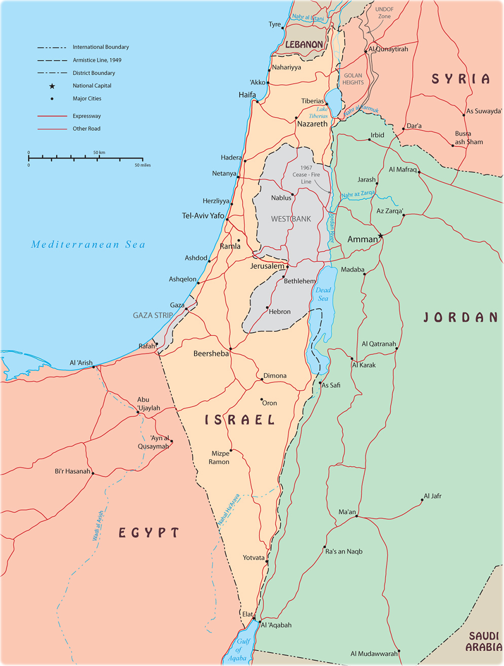
Map of Israel

After WWI, the Allied powers allocated the area to the British Mandate of Palestine. After World War II, the United Nations passed a resolution to establish two states within the Mandate, and designated a territory including what is now known as the West Bank as part of the proposed Arab state. Following the 1948 Arab-Israeli War the area was captured by Transjordan (later renamed Jordan). Jordan annexed the West Bank in 1950.
In June 1967, Israel captured the West Bank and East Jerusalem. With the exception of East Jerusalem and the former Israeli-Jordanian border zone, the West Bank remained under Israeli military control until Israel transferred security and civilian responsibility for many Palestinian-populated areas of the West Bank and Gaza Strip to the Palestinian Authority under a series of agreements signed between 1994 and 1999. Negotiations to determine the permanent status of the West Bank and Gaza Strip stalled after the outbreak of an intifada in 2000.
|
Copyright © Geographic Guide - Asia Atlas, Maps of Countries. |
