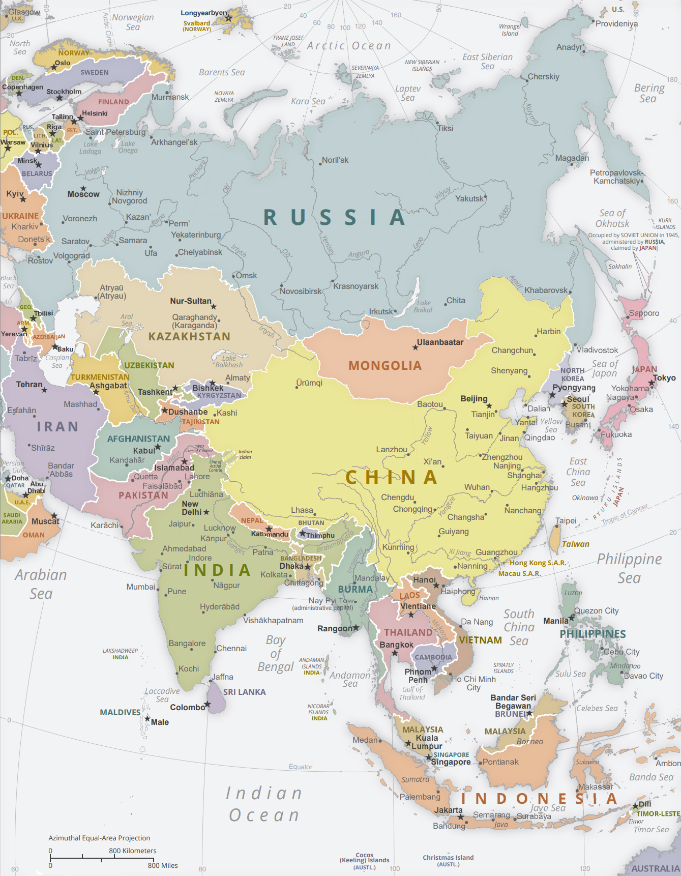
Political Map of Asia - 2008

Maps of some Asian countries: of Mongolia. Kazakhstan, Japan and South Korea. Indonesia and Philippines.

|
Copyright © Geographic Guide - Asia Atlas, Maps of Countries. |
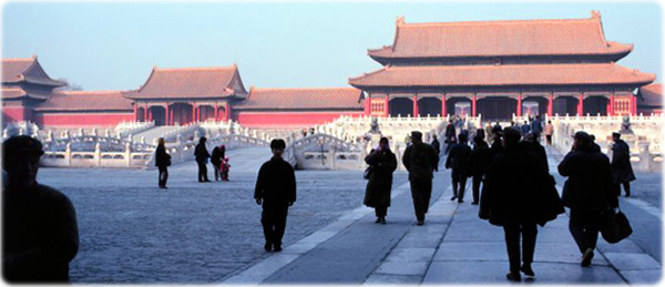
The Forbidden City at Beijing, China (photo NOAA, 1979).
Asia is the world’s largest continent, covering about 9% of the Earth's total surface area. Its name dates back to classical antiquity. It occupies the eastern part of the Eurasian landmass. Asia is bounded by three oceans: the Arctic Ocean to the north, the Pacific Ocean to the east and the Indian Ocean to the south. The Suez Canal separates Asia from Africa.
Political Map of Asia - 2008
