
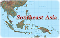
Maps of Southeast Asia
![]() Southeast
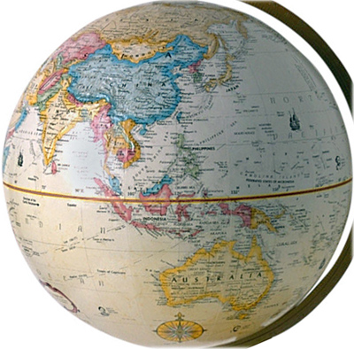
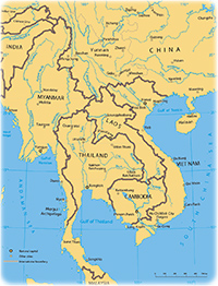
Asia consists of a projection of continental Asia and a sequence of archipelagos
to the south and east of the continent. The Malay Peninsula shares many
environmental and cultural affinities with its neighboring islands and acts as a
bridge between the two regions.
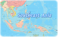
Southeast
Asia consists of a projection of continental Asia and a sequence of archipelagos
to the south and east of the continent. The Malay Peninsula shares many
environmental and cultural affinities with its neighboring islands and acts as a
bridge between the two regions.
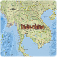
Southeast Asia includes 11 countries: Brunei, Cambodia, East Timor, Indonesia, Laos, Malaysia, Myanmar, Philippines, Singapore, Thailand and Vietnam. Almost all lies within the tropics, so there are similarities in climate and environment throughout the region. Temperatures are generally warm, although it is cooler in the highland areas.
A remarkable feature of Southeast Asia is the different ways in which people have adapted to their local environments. In pre-modern times, many nomadic groups lived in small boats. The deep jungles were home to numerous small wandering groups, and inland tribes also included fierce headhunters.
Cultural changes began to affect the region about two thousand years ago. Chinese expansion south of the Yangtze River eventually led to the colonization of Vietnam. Chinese control ended in 1427, but Confucian philosophy had a lasting influence. Buddhism and Taoism also reached the region. Expanding trade across the Bay of Bengal also meant Indian influences. These influences were most obvious when large sedentary populations were engaged in growing irrigated rice, like northern Vietnam, Cambodia, Thailand, Burma, Java, and Bali.
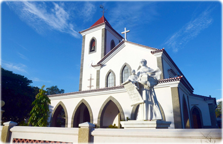
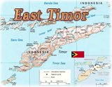
Motael church in Dili, East Timor.
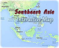
Southeast Asia
|
Copyright © Geographic Guide - Asia Atlas, Maps of Countries. |
Maps of Southeast Asia
© Dodohawe